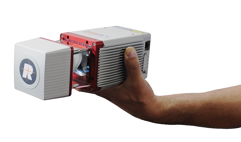
The RIEGL miniVUX 1UAV is an extremely lightweight airborne laser scanner, it's a user-friendly and cost-efficient device to acquire survey-grade measurement data by use of remotely piloted helicopters and unmanned aircrafts for a variety of applications.
$21800
Description
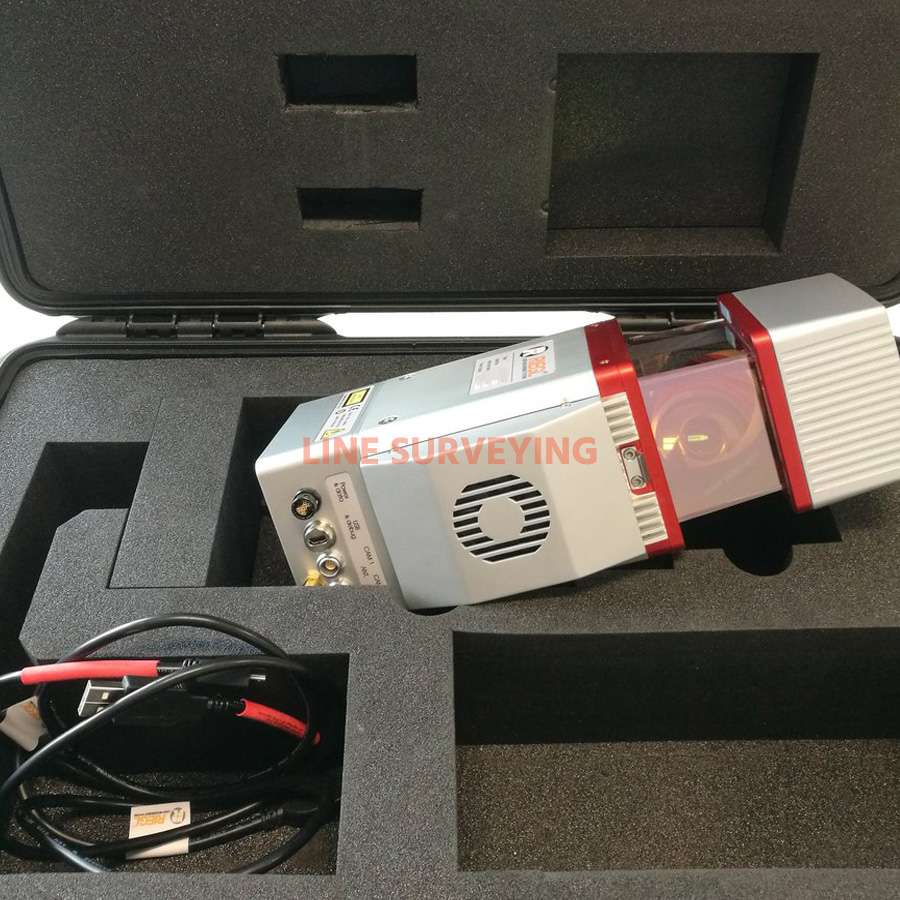
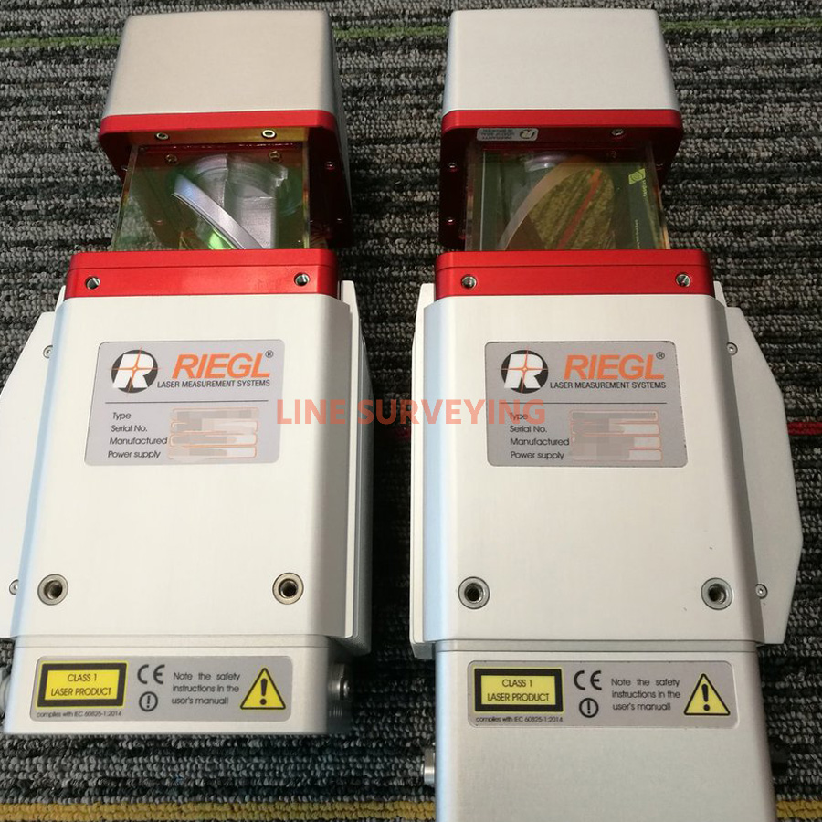
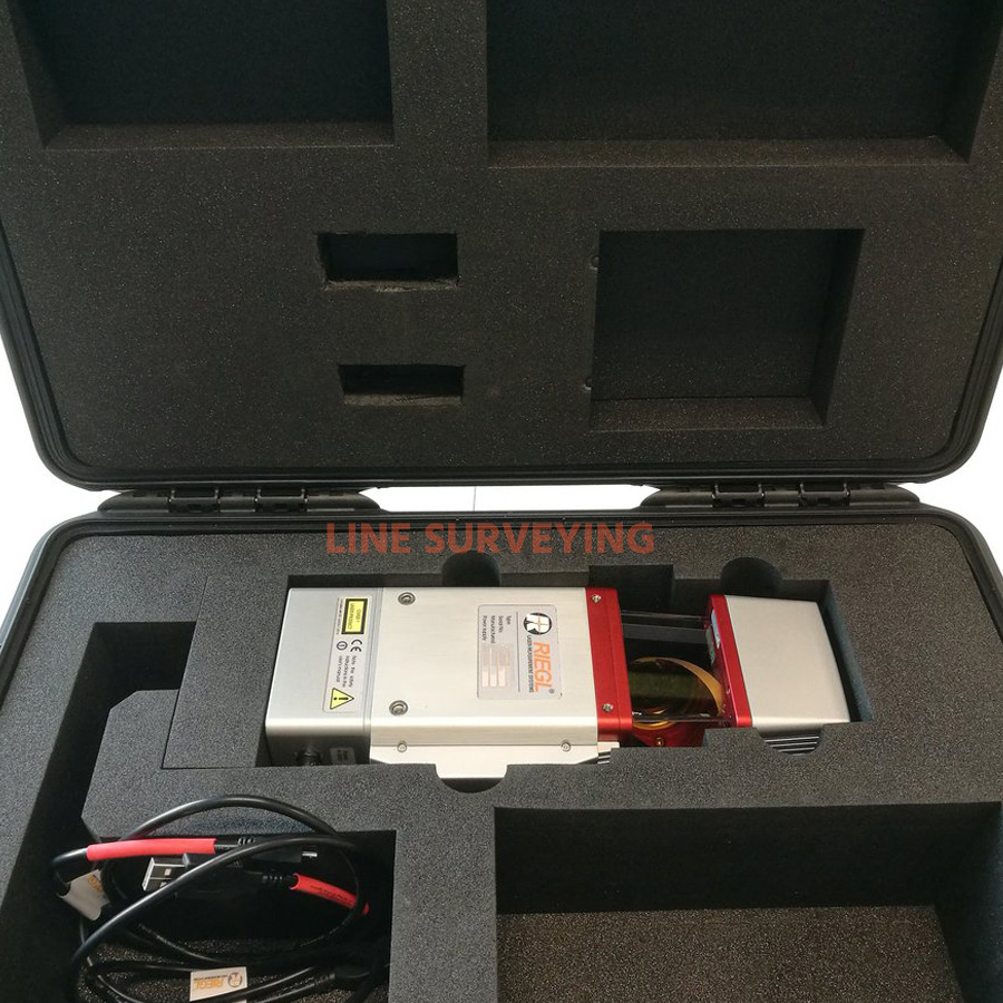
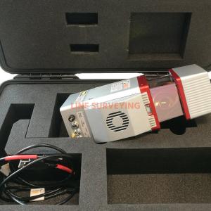
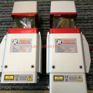
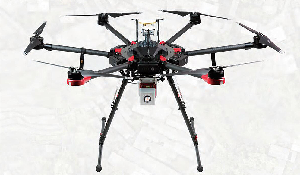
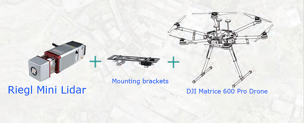
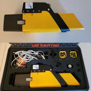
Used RIEGL miniVUX 1UAV Laser scanner this miniVUX-1UAV LiDAR Sensor is equipped with APX-20 UAV1 IMU/GNSS and fully integrated with the DJI M600 Platform. This set up is in MINT condition and ready to go to work. Manufacture 2019, it comes with RIEGL software packages (Update of RiSCAN PRO, RiMINING, and RiSOLVE version 2.2) for calibration data acquisition.
The RIEGL miniVUX-1UAV is an extremely lightweight airborne laser scanner, designed specifically for integration with UAS/UAV/RPAS. The small and sophisticated design of the stable aluminum housing offers various integration possibilities with platforms that offer restricted space or payload capabilities. The 360° field of view allows complete acquisition of the environment. An easy-to-remove SD card for data storage, and/or the option for streaming the scan data via LAN-TCP/IP interface, in combination with the modest power consumption of the scanner, enable straight-forward integration with most UAS/UAV/RPAS types.
Higher-grade IMU/GNSS unit partly integrated (IMU82) respectively fully integrated (IMU90) with LiDAR engine
Total weight approx. 2.5 kg / 2.3 kg
Interfaces for up to 2 cameras
Suited for integration into all types of UAVs
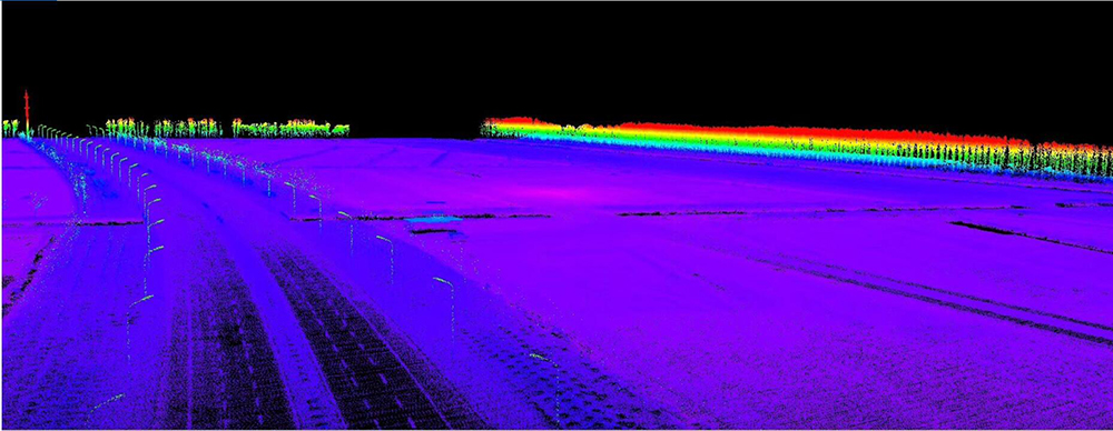
The RIEGL miniVUX-1UAV makes use of RIEGL’s unique Waveform-LiDAR technology, allowing echo digitization and online waveform processing. Multi-target resolution is the basis for penetrating even dense foliage. As a further special feature, the wavelength is optimized for the measurement of snowy and icy terrain. In addition to the stand-alone version of the miniVUX-1UAV, RIEGL also offers fully-integrated system solutions.
TECHNICAL DATA: 1. Laser Product Classification: Class 1 Laser Product according to IEC 60825-1:2014 2. Range Measurement Performance:
Configuration, Scan Data Output & Communication with External Devices: 2 x LAN 10/100/1000 Mbit/sec and WLAN IEEE 802.11 a/b/g/n
GNSS Interface: Serial RS-232 interface for data string with GNSS-time information, TTL input for 1PPS synchronization pulse.
General IO & Control: 2 x TTL input/output, 1 x Remote on/off
Camera Interface: 2 x GNSS RS-232 Tx & PPS, Power, Trigger, Exposure
Memory Card Slot: for SDHC/SDXC memory card 32 GByte (can be upgraded to 64 GByte
5. General Technical Data:
Power Supply Input Voltage / Consumption: 11 - 34 V DC / typ. 18 W @ 100 scans/sec
Main Dimensions (L x W x H) / Weight: with Cooling Fan 243 x 111 x 85 mm / approx. 1.6 kg and without Cooling Fan 243 x 99 x 85 mm / approx. 1.55 kg
Humidity: max. 80 % non condensing 31°C
Protection Class: IP64, dust and splash-proof
Temperature Range: -10°C up to +40°C (operation) / -20°C up to +50°C (storage)
FEATURES:
Very compact & lightweight LiDAR scanner (1.55 kg)
360° field of view
Robust aluminum housing, ready to be mounted to fixed-wing, rotary-wing, and multi-rotor UAVs
Makes use of RIEGL’s unique echo signal digitization and online waveform processing
Multiple target capability – up to 5 target echoes per laser shot
Scan speed up to 100 scans/sec
Measurement rate up to 100,000 measurements/sec
Mechanical and electrical interface for IMU mounting
Exceptionally well suited to measure snowy and icy terrain
User-friendly, application and installation oriented solutions for integration
APPLICATIONS:
Main applications: Agriculture & Forestry;Archeology and Cultural Heritage Documentation, Construction-Site Monitoring, Glacier and Snowfield Mapping, Landslide Monitoring.
Distinguishable features: Very compact & lightweight (1.55 kg / 3.4 lbs);360° field of view, Stable aluminum housing, ready to be mounted to fixed-wing, rotary-wing, and multi-rotor UAVs RIEGL’s unique echo signal digitization and online waveform processing, Multiple target capability up to 5 target echoes per laser shot, Scan speed up to 100 scans/sec, Measurement rate up to 100,000 measurements/sec, Mechanical and electrical interface for IMU mounting, Exceptionally well suited to measure snowy and icy Terrain.