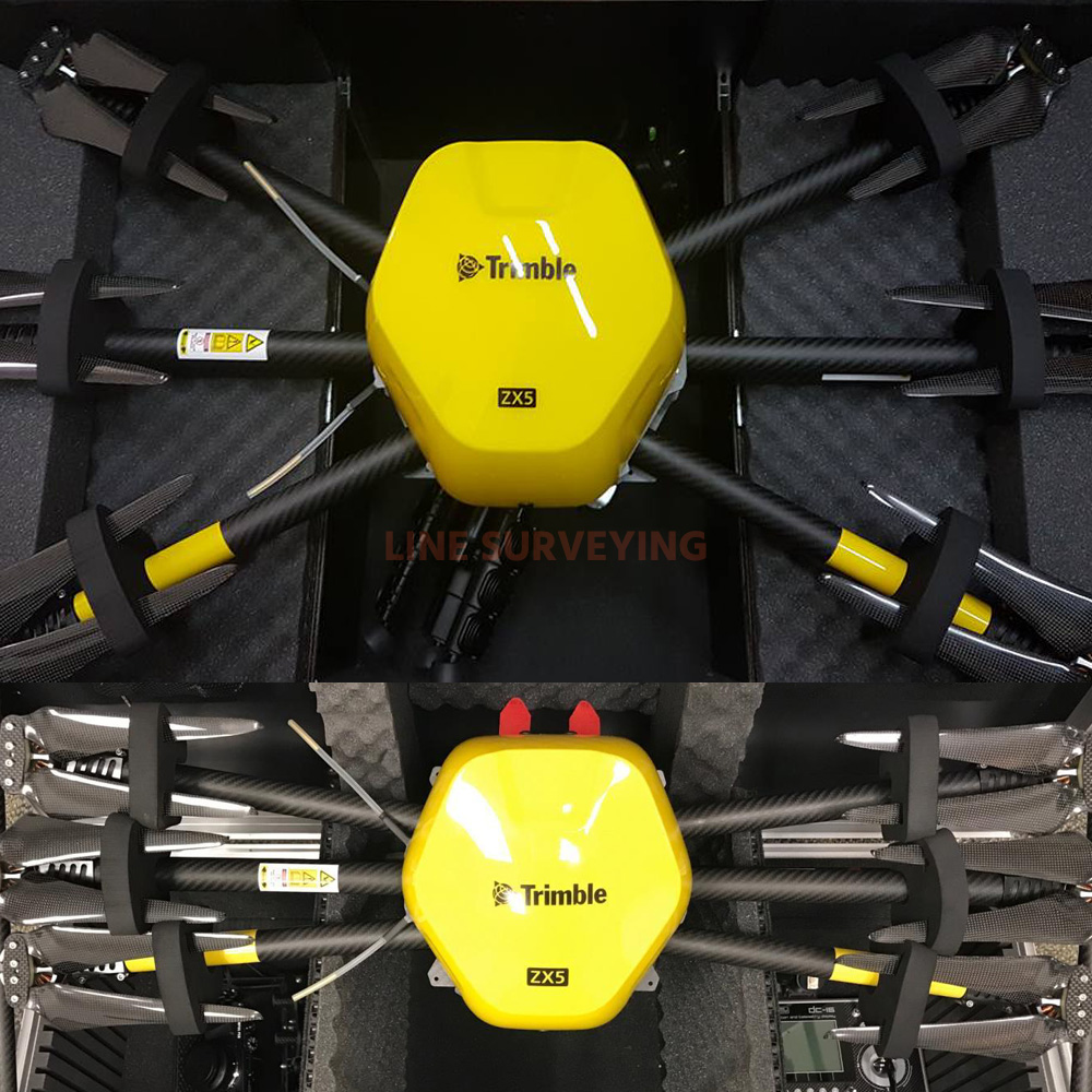
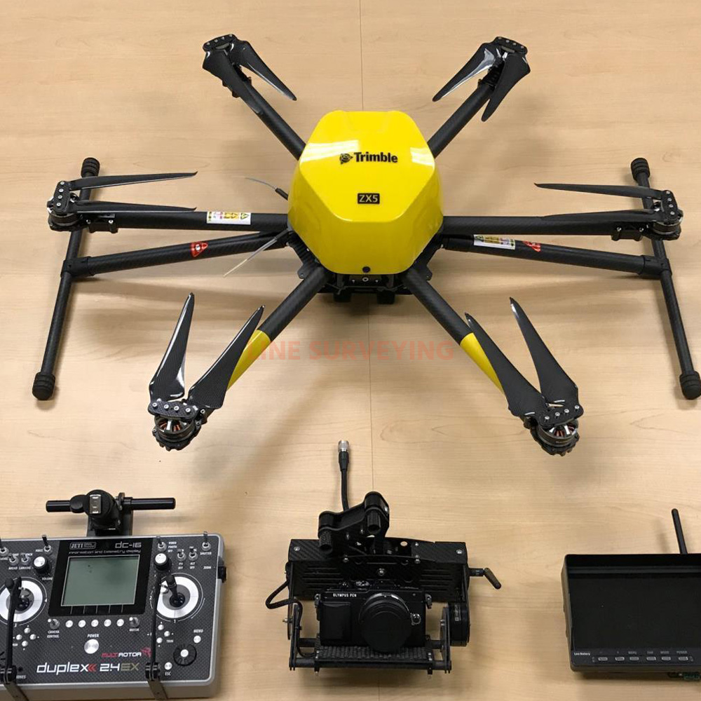
The Trimble ZX5 is another accurate, reliable tool in Trimble’s family of UAS solutions. Fast to set up and easy to operate, the Trimble ZX5 allows you to quickly collect data in the field so you can generate the dynamic deliverables required for today’s jobs. It requires no launcher, is easy to deploy, and includes everything you need to capture high quality georeferenced photos for applications such as aerial mapping and inspections. The system can be equipped to record live video images for inspection purposes of e.g. windmills, bridges, pipelines, monuments, high-voltage pylons. The Trimble ZX5 can also be used to retrieve high quality georeferenced photos. Using Trimble Business Center's Photogrammetry Module or Trimble UAS Master, a detailed Orth-photo and 3D model can be generated.
1. Vertical takeoff and landing capability allows users to work in tight places and obstructed environments where fixed wing solutions are less suitable.
2. The system can be equipped to capture live video imagery for inspection applications such as civil infrastructure, utilities, and oil and gas pipelines.
3. Simple field-to-office workflows ensure reliable results
4. Easily integrate with other Trimble technology
FEATURES:
> Outstanding flight stability and performance even in strong winds
> Includes a 16 MP camera system and flight planning software
> Image resolution down to 1 mm
> Light, compact,foldable carbon design
> Up to 20 minute mission duration and 2 km range
> Easy data processing in Trimble Business Center Photogrammetry Module or Trimble UASMaster
CHARACTERISTICS:
- Excellent air stability and high performance, even at higher wind speeds
- Including a 16 MP camera and flight planning software
- Resolution up to 1mm ground resolution
- Light, compact, foldable, carbon design
- Up to 20 min flight time and up to 2 km away
- Simple data processing in Trimble Business Center Photogrammetry Module or Trimble UAS Master
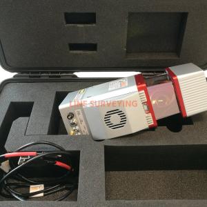
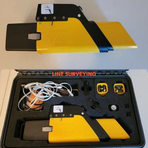
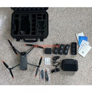
Trimble ZX5 System Includes: