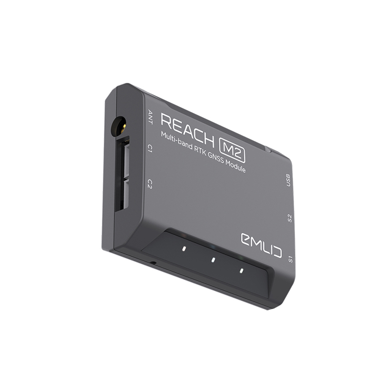
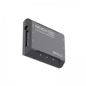
Product Description
Emlid Reach M2 is a compact and affordable Multi-band GNSS RTK receiver with built-in IMU for precise navigation and UAV mapping without ground control points. It can provide coordinates down to centimeters in RTK mode.
Emlid RCH103 Multi-band RTK GNSS Module Features:
- RTK positioning for navigation
- PPK for UAV mapping
- Centimeter accuracy without ground control points
- Sync directly with Camera hot shoe port
- Control with ReachView app
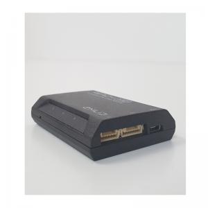
Products included in Emlid RCH103 Package:
- (1X) EMild Reach M2
- (1X) USB cable
- (1X) JST-GH 6-pin to jumper pin cable
- (1X) JST-GH 5-pin to jumper pin cable
Centimeter Accuracy with the Reach M2: The Emlid Reach M2 needs access to corrections for centimeter accuracy. Obtained over the Internet (NTRIP) or a local Emlid reach RS2+ GPS GNSS Receiver base station can be used.
NTRIP Corrections: NTRIP (Networked Transport of RTCM via Internet Protocol) allows a RTK GNSS receiver (client) to communicate with a base station (caster) over the internet to achieve cm level accuracy.
Base Stations:
- A base station is an unitset to a known latitude, longitude and height. This is referred to as a ‘known’ point. This base will keep monitoring the satellites above and will calculate position corrections and send them to the Rover.
- An Emlid Reach RS2 is suitable for use as a base station. They are capable of transmitting corrections locally or over the internet. If set up locally, all recorded positions will be relative to the position of the Base Station.
Baseline:
Whether using NTRIP or a RS2, sending corrections over the internet. It is important to note the baseline. The baseline is the term given to the distance between the base station and the GNSS Receiver (Reach M2). The baseline is important, because the atmospheric conditions will be different at different locations. Therefore, there will be less accuracy the further the rover gets from the base.