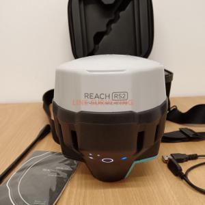
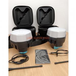
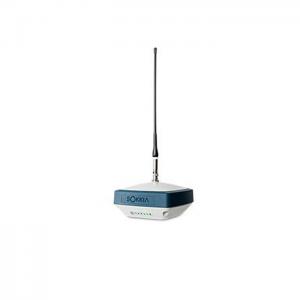
Emlid Reach RS2+ receiver features a 184 channel Ublox GNSS receiver board. Alongside a VRS RTK subscription from an RTK network, the Emlid Reach RS2+ GPS receiver can ensure centimetre accuracy in real-time. Since the receiver supports Galileo GPS Glonass QZSS, and Beidou satellite constellations, it can provide a high level of GNSS accuracy, even in harsh conditions.
Besides the GPS satellite, we have included a list of frequencies and other GNSS constellations the Emlid Reach RS2+ can support. The receiver also comes with an 868-915Mhz internal transmitter. In addition, there is a 4GB modem which you can use for a network rover setup. It works alongside a free ReachView App to let you survey points as well as log UBX and RINEX files.
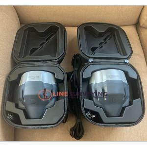
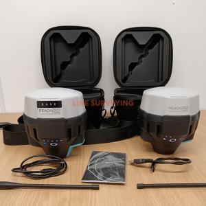
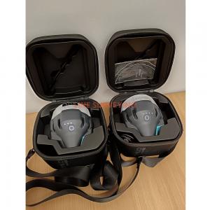
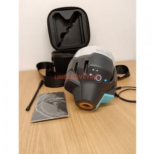
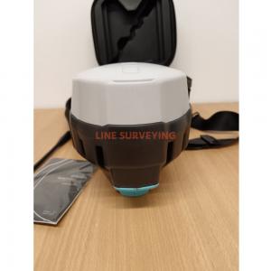
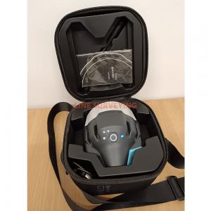
Includes:
1. Collecting points with the Reach RS2+
The most user-friendly software for data collection that is available both for Android and iOS. With ReachView, you can collect and stake out points and control all the features of Reach receivers, such as setting up a base station, logging RINEX data, and configuring NMEA output.
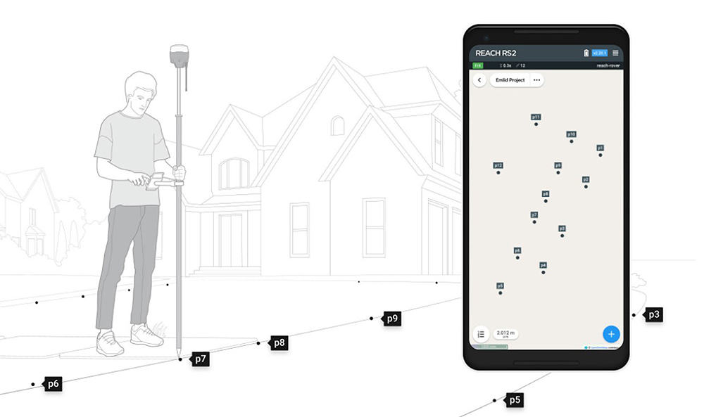
Create projects, save points and export in industry standard formats. Record each position as a point with centimeter precise coordinates. Export projects and open them in GIS or CAD software like AutoCAD, ArcGIS, QGIS, and others. Most commonly used formats are
2. Stakeout: Find points and positions on the ground with the Emlid RS2+
Stakeout is used to find exact physical locations of points. They can be collected in ReachView or imported from other CAD or GIS software.
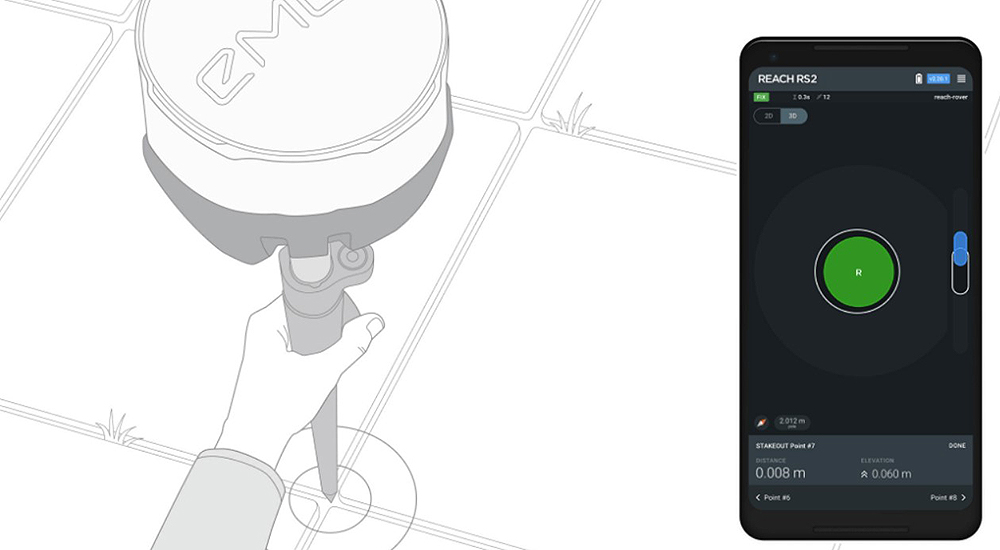
The process of stakeout in ReachView has two steps: map view and bulls-eye. The map’s purpose is to help you navigate to points on long distances. When you get closer than 40 cm to the point, the bulls-eye turns on to make it easier for you to visually match receiver and point.
3. Logging in RINEX: record raw data, position, and base correction logs
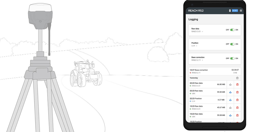
Record raw data, position and base correction logs. Point collection and recording of RAW data are independent processes and can be used simultaneously. ReachView has a simple and intuitive interface for logging configuration and control. We provide our version of RTKLib for PPK. It’s free and can be downloaded from our docs.
4. PPP for OPUS
RINEX raw data logs are compatible with PPP services, so you can now get centimeter-precise results in any place on Earth. Process RINEX files in an online service and get position with absolute accuracy.