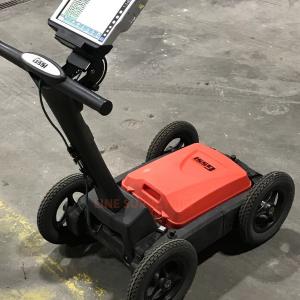
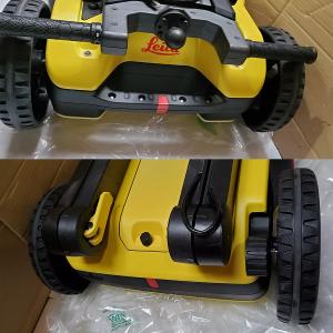
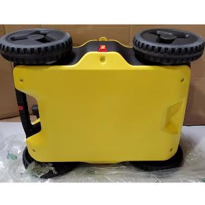


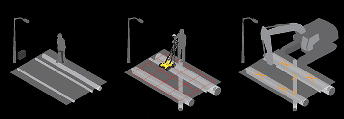
Reliable utility detection for everyone – simple detection workflow and results that anyone can understand. For utility repair and maintenance, civil engineering and surveying companies, the Leica DSX utility detection solution, consisting of a portable hardware with intuitive software allows to easily locate, visualise and map utilities. Unlike any other ground penetrating radar (GPR) system, the Leica DSX GPR System maximises productivity with cutting-edge software that automates data analysis and creates a 3D utility map on the field.
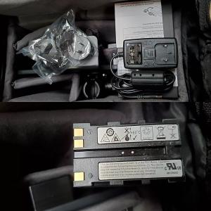
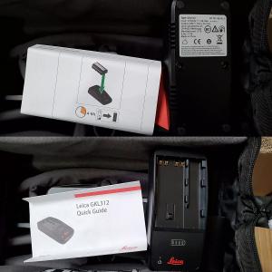
INCLUDES:
BENEFITS:
| 1. Ease of Use: |
|
| 2. Instant 2D/3D Utility Map: |
|
| 3. Reliable Detection Results: |
|
| 4. Integrated Solution: |
|
TECHNICAL SPECIFICATIONS:
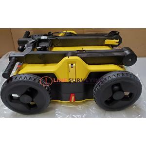
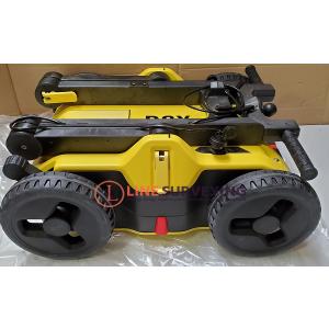
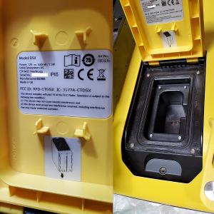
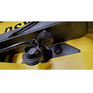
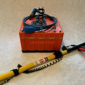
| 1. DSX Utility Detection System: |
|
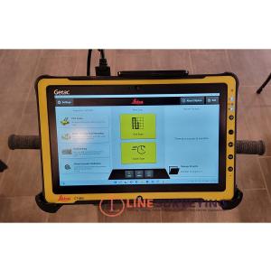
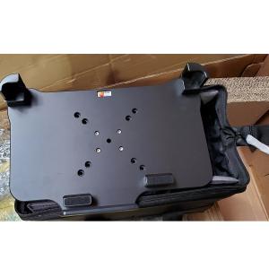
| 2. CT1000 Tablet: |
|
SOFTWARE DXplore:
Leica DSX utility detection solution For utility repair and maintenance, civil engineering and surveying companies, the Leica DSX utility detection solution, consisting of portable hardware with intuitive software, allows us to easily locate, visualize and map utilities. Unlike any other ground-penetrating radar (GPR) system, the Leica DSX maximizes productivity with cutting-edge software that automates data analysis and creates a 3D utility map on the field.
Comes with the DXplore Survey add-on. The add-on extends DXplore build to add GNSS or TPS coordinates to GPR data. Same as Starter Package with the addition of the DXplore Survey add-on, which enables the operator to add GPS or TPS coordinates to GPR data and to export that data to CAD.
| Setup: | - Animation tutorials - Status check (connection, battery level, etc.) - Project and draft management - GNSS and TPS connection wizard - GNSS/TPS aided project and grid definition workflow - Project management |
| Acquisition: | - Grid Scan mode - DSX cart precise alignment mode - Quick Scan mode - Radar sensor control (scan and pause, etc.) - DSX cart position and scan trajectory displayed in 3D - Real-time scan trajectory from GNSS/TPS |
| Positioning: | - Location from wheel encoders - Google Maps and current location support - Local coordinate system support - GNSS antenna and TPS support - Accuracy check in all screens - Geoid corrections |
| Process & Analysis: | - On-site radar tomography generation - B-scan review and marking - 3D tomography - POI support - Utility marking - Semi-automatic utility verification - Measure distance (Point to Point) - Utility depth calibration with user input - Georeferencing with positioning data |
| View: | - Animation on tomography slices - Configure depth slices - 2/3D view - Horizontal/Vertical scans - Contrast Slider - Back to utility - Lead to utility viewer |
| Import: | - Utility records in DXF, DWG and ESRI shape file - Multiple layer support |
| Export: | - Report in PDF format - PDF report configuration - Detected utilities in DXF format - Tomography in PNG, JPG, tiff, bmp, and GIF format - B-scan - 3D DXF/DWG - Output in selected local coordinate systems - MC1 (.lok supported) - WGS84 ellipsoid, reference ellipsoid, orthometric heigh |
| Download |